|
Welcome to the sister site of www.prehistoricjersey.net. This site provides photographs and where available, plans of most of the prehistoric sites in the Commune of Carnac and many in the surrounding area.
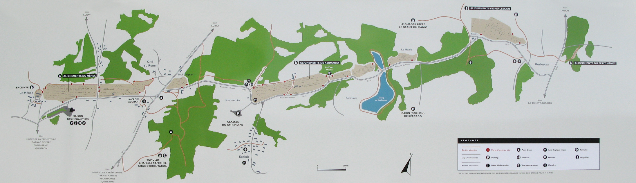
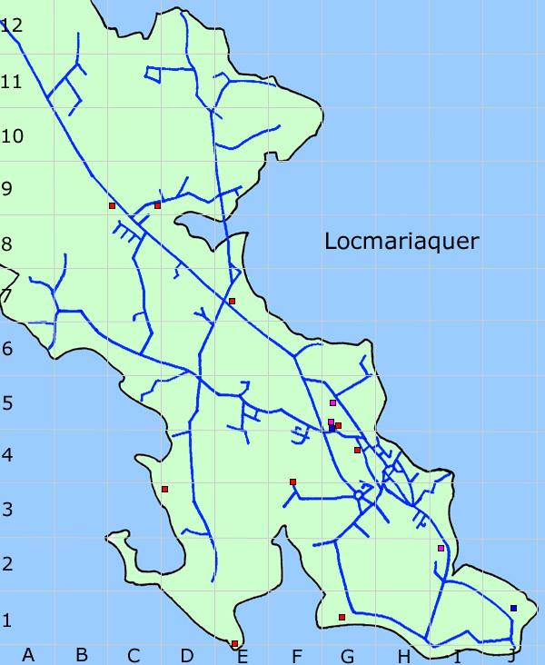
All photgraphs were taken during the summers of 2007 and 2008. The names of the sites given are those used in the book 'Le Guide des Mégalithes du Morbihan' by Gabriel Le Cam. The grid references given relate to either the Carnac Tourist Office Map (La Côte des Mégalithes), my own map of Locmariaquer or two of The Institut Geographique National (IGN), 1:25,000 maps of the area (0821 OT - Prequ'île de Quiberon/Auray/Carnac & 0921 OT - Vannes). These two maps are available from MapsWorldwide.com
|

